
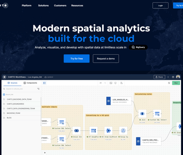
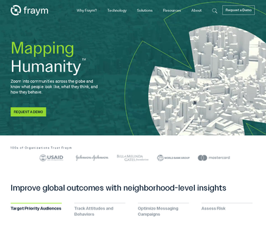
Visualization Software; Geographic Information Systems; Mapping Tools; Location Based Services ...

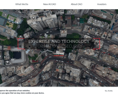
Cloud Computing; Geographic Information Systems; Mapping Tools; Aerial Imaging; Image Processing; Commercial Satellite Imaging; Information Technology Products ...

Visualization Software; Geographic Information Systems; Mapping Tools; Location Based Services ...

Electronics & Controls & Instrumentation, Communications Cellular, Wireless; Electronics & Controls & Instrumentation, Communications Satellite; Electronics & Controls & Instrumentation, GPS Global Positioning Systems; Information Technology, GIS & Mapping; Information Technology, Inventory & Equipment Management; Safety & Security, Alarms; Safety & Security, Anti Theft & Security Systems; Services, Computer Software; Services, Fleet Management Systems; Services, Telecommunications; Services, Construction Equipment ...
Engineering Services; Information Technology Products; Visualization Software; Mapping Tools; Cloud Computing; Geographic Information Systems; Integration Services; Training & Simulation; Command, Control, Communications & Computers; Aerial Imaging; Image Processing ...

Electronics, Controls, Instrumentation Computer Software; Information Technology Computer Hardware & Peripherals; Information Technology Financial Management, Project Accounting, Accounting Services; Information Technology Gis, Mapping; Information Technology Internet Solutions, Networking; Information Technology Inventory, Equipment Management; Information Technology Management Consulting, Asphalt Equipment, Heavy Construction ...

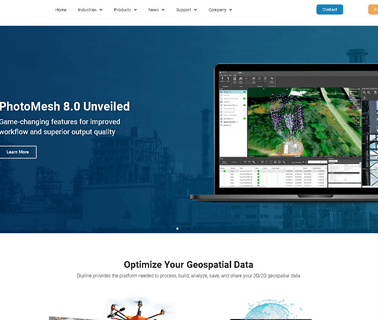
Visualization Software; Commercial Satellite Imaging; Image Processing; Mapping Tools; Aerial Imaging; Information Technology Products; Geographic Information Systems; Location Based Services ...

Visualization Software; Research & Development; Consulting Services; Global Positioning Hardware & Software; Mapping Tools; Commercial Satellite Imaging; Image Processing; Geographic Information Systems; Location Based Services ...

Visualization Software; Consulting Services; Image Processing; Mapping Tools; 3D Mapping Software & Tools; Gis Software; Aerial Imaging; Information Technology Products; Geographic Information Systems; Location Based Services ...
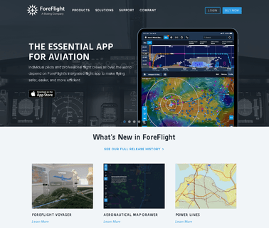
Aerial Imaging; Integration Services; Global Positioning Hardware & Software; Mapping Tools; Geographic Information Systems; Information Technology Products & Services; Weather Services; Computer Software Services & Consultants; GPS Services; Flight Planning Services ...

Visualization Software; Simulation & Modeling & Training; Engineering Services; Image Processing; Research & Development; Consulting Services; Integration Services; Geographic Information Systems; Mapping Tools ...
Visualization Software; Global Positioning Hardware & Software; Location Based Services; Simulation & Modeling & Training; Geographic Information Systems; Mapping Tools; Information Technology Products; Research & Development ...

Geographic Information Systems; Mapping Tools; Aerial Imaging; Simulation & Modeling & Training; Information Technology Products; Visualization Software ...
Geographic Information Systems; Information Technology Products; Visualization Software; Consulting Services; Mapping Tools; Image Processing; Research & Development ...
Emergency Equipment, Accident Gis Software, Collision Diagram, Accident Information Management, Accident Mapping Software, Safetyanalyst, Gis Safetyanalyst, Traffic Safety Software; Accident Software, Accident Gis Software, Accident Record, Accident Records; Accident Information Management, Accident Information Management System, Accident Data Management, Accident Record Management; Accident Analysis, Accident Analysis Software, Accident Mapping, Accident Mapping Software, ...
Intelligence, Surveillance & Reconnaissance & Isr; Cyberspace Operations; Services; Cloud Computing; Information Technology Products; Geographic Information Systems; Integration Services; Visualization Software; Mapping Tools; Engineering Services; Image Processing; Location Based Services; Communications; Cyber Security; Command, Control, Communications & Computers; Training & Simulation ...