

Brand Licensing Integrated Security Surveillance Systems Cybersecurity Big Data Analysis Applications Border Management Perimeter Protection Solutions Command and Control Geographic Information Gis Geospatial Intelligence Intruder Detection Towers Coastal Safe Cities Counter Terrorism Investigations Gunshot Location Mapping Tracking Public Safety Technologies Predictive Policing Communications Equipment ...
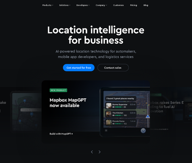
Visualization Software; Geographic Information Systems; Mapping Tools; Location Based Services ...

Visualization Software; Commercial Satellite Imaging; Image Processing; Mapping Tools; Aerial Imaging; Information Technology Products; Geographic Information Systems; Location Based Services ...

Visualization Software; Research & Development; Consulting Services; Global Positioning Hardware & Software; Mapping Tools; Commercial Satellite Imaging; Image Processing; Geographic Information Systems; Location Based Services ...

Visualization Software; Geographic Information Systems; Mapping Tools; Location Based Services ...

Visualization Software; Consulting Services; Image Processing; Mapping Tools; 3D Mapping Software & Tools; Gis Software; Aerial Imaging; Information Technology Products; Geographic Information Systems; Location Based Services ...
Construction Equipment Gps Accessories Machinery Equipmentshare Online Rental Marketplace Es Rents Logistics Combining Insurance Verification Background Checks Payment Processing and Easy Interface Lending Renting Facilitates Inexpensive Peer Giving Contractors Ability Money Off They Arent Using Made Millions Track Connectivity Offering Location Mapping Landmarks Geofences Total Utilization Driver Scorecard Service Maintenance Job Site Usage Costing Analytics Integration W Existing Telematics Dozens Reports Alerts Both V ...
Visualization Software; Global Positioning Hardware & Software; Location Based Services; Simulation & Modeling & Training; Geographic Information Systems; Mapping Tools; Information Technology Products; Research & Development ...

Topographic Mapping Sacramento, Ca; Photographic Services; Let us help you with our aerial photography and topographic mapping services. We serve the entire state from our location in Sacramento, CA; Photogrammetric Engineering & Photographic Service ...
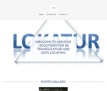
Lokatur's mission is to map the wireless world. Using patent pending algorithms, we graphically render in 3D the location of wireless devices. Our technology also allows precise navigation of automated vehicles, track assets and perform geo mapping of structures along with many other applications ...

Visualization Software; Commercial Satellite Imaging; Mapping Tools; Location Based Services ...
Visualization Software; Eastern & Southeast Asia; Automotive & Vehicle Technology; Mobile Apps; Augmented Reality & Virtual Reality; Central America; Gaming; Central & South Asia; Mapping Tools; Aerial Imaging; Location Based Services; Geographic Information Systems, Virtual Reality ...
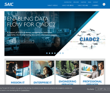
Integration Services; Simulation & Modeling & Training; Mapping Tools; Consulting Services; Geographic Information Systems; Location Based Services; Flight Simulation & Training; Gaming; Training Services; Cyber; Simulation Toolkits; Saic is a Premier Technology Integrator Providing Full Life Cycle Services & Solutions in the Technical, Engineering, Intelligence & Enterprise Information Technology Markets. Saic ...
Research & Development; Mapping Tools; Consulting Services; Geographic Information Systems; Location Based Services; Cloud Computing; Information Technology Products; Engineering Services; Integration Services ...
Intelligence, Surveillance & Reconnaissance & Isr; Cyberspace Operations; Services; Cloud Computing; Information Technology Products; Geographic Information Systems; Integration Services; Visualization Software; Mapping Tools; Engineering Services; Image Processing; Location Based Services; Communications; Cyber Security; Command, Control, Communications & Computers; Training & Simulation ...