

Building Materials, Gpr Data is a Leader in Non Destructive, Non Invasive, Cutting Edge, Geophysical Testing and Sub Surface Investigations. Non destructive, non invasive, geophysical testing and sub surface investigation services. Services include grave site mapping, archaeology, historic masonry building preservation, pavement structure analysis, non destructive testing and inspection, utility mapping, concrete rebar and post tension locating, bridge inspection, void detection, geological and geophysical archaeology ...

Pix4D is Specialized in Professional Drone Mapping Software to Produce 2D Orthomosaics, 3D Models, Digital Surface Models, Point Clouds and More, all from Images. Using Deliverables from Pix4D Software that are Bim Compatible, Construction Managers can Monitor Construction Site Progress Enabling them to View the As-Built Situation of the Site for Up-To-Date Measurements and Continued Analysis, Making Earthwork Management and Detailed Virtual Inspections more Efficient ...
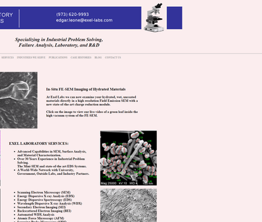
Sem, Sem/Edx, Sem/Wdx, Quantitative Image Analysis, Spm, Afm, Roughness Measurements, Optical Microscopy, Stereomicroscopy, Image Analysis/Mapping, Accelerated Life Testing, Precision Cross-Sectioning, Outsource Partners for Xps, Tem, Ftir/Raman, Thermal Analysis, Surface Analysis, Gc/Ms; Additional Analytical Services details ...